Get 30 Days $0
Start Your FREE Trial
Show Search
Clear
Search Query
Submit Search
Read Today's Paper
Wednesday, February 5
🗣️Follow us on Bluesky
🙃Did you know?
💪Rosie Awards tickets
🏆20 Under 40 Awards
⚖️Public records
Advertise With Us
Digital Advertising
Print Advertising
Printing Services
TV Advertising
Video Services
Place a Public Notice
Get Our Advertising Newsletter
Sponsored Content
News
Local
Minnesota
Wisconsin
National
World
The Vault
Agweek
Forum News Network
Weather
Sports
Prep
Prep standings
College
Bulldogs Hockey
Pro
Northland Outdoors
Obituaries
Health
Business
Business Announcements
Opinion
Editorials
Columns
Letters
Cartoons
Lifestyle
Arts / Entertainment
Home / Garden
Astro Bob
Comics
Puzzles and Games
Community
Milestones
Calendar
Contests
Announcements
Podcasts
Listings
Classifieds
Public Notices
JobsHQ
Local Interest
The Woman Today
Account
FCC Network
Profile
Newsletters
Help
Subscriber Benefits
Sections
Show Search
Clear
Search Query
Submit Search
Get 30 Days $0
Start Your FREE Trial
Log in
Account
Get 30 Days $0
Start Your FREE Trial
ADVERTISEMENT
ADVERTISEMENT
WEATHER
Weather
Snow chances roll through into Wednesday night
Accumulating snow could result in extra time for your Thursday morning commute.
Weather
Cloudy skies the next couple days
Temperatures stay seasonal along with some chances of snow flurries.
1d ago
Weather
Cooler this week with a few rounds of snow moving through
We also battle a bit of a breeze that stays around 10-20 mph out of the northwest.
2d ago
Weather
Staying breezy and temperatures falling this Sunday afternoon
As the flurries taper out for most of the region, sun will start to shine through, but temperatures tumble into the week around the Northland.
3d ago
ADVERTISEMENT
Latest Headlines
Weather
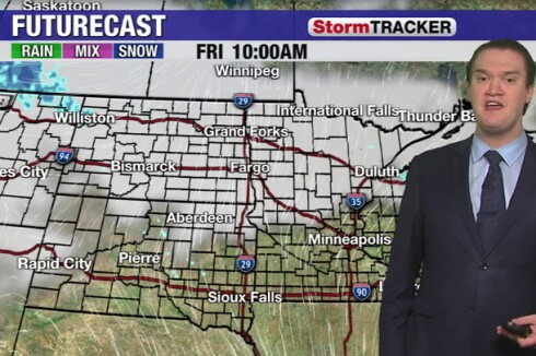
Clipper system to bring snow this weekend
Lake-enhanced snowfall could leave parts of the North Shore with over a half-foot of snow by the time we wrap up Sunday.
4d ago
·
By
Robert Daley
Weather
John Wheeler: It is possible for one big snowstorm to hit during an otherwise quiet winter
Blizzards in March of 1966 and January of 1975 were largely stand-alone storms.
4d ago
·
By
John Wheeler
Weather
Chances of snow on the way this weekend
Road conditions could get slick with snow and wind moving through.
5d ago
·
By
Robert Poynter
Northland Outdoors
Northland Outdoors Forecast: Winter Weather Making its Return to the Northland to start February
Light snow clips northern parts of the Northland this weekend, and Sunday evening will bring in cooler weather heading into the week.
5d ago
·
By
Charles Pekar
Weather
John Wheeler: We all see the same moon, but we see it differently from different places
However, in the southern hemisphere, people see the moon upside-down.
5d ago
·
By
John Wheeler
Weather
Staying a little mild through end of week
Winds shift gradually to out of the west, and we have a stretch of seasonable to mild days heading into February.
6d ago
·
By
Charles Pekar
Weather
Staying sunny, but gusty winds keep temps cooler Wednesday
While snow has left most of the region, we still have northwest winds, which keep temperatures seasonable through the day.
Jan 29
·
By
Charles Pekar
Local
Great Lakes ice cover expanded rapidly in past week
Lake Superior’s ice cover graph doesn’t show any remarkable ice growth last week.
Jan 28
·
By
Mark Torregrossa / mlive.com
Weather
Light snow continuing off and on Tuesday
Highs stay around the freezing mark so it will be a wetter snow for some, but spots around the Arrowhead could see a few inches before snow tapers off Tuesday night.
Jan 28
·
By
Charles Pekar
Weather
Warming up to start the week, but chances of flurries move in
Winds will remain blustery but we get above freezing for much of the day.
Jan 27
·
By
Charles Pekar
Load More
ADVERTISEMENT
ADVERTISEMENT
We see that you have javascript disabled. Please enable javascript and refresh the page to continue reading local news. If you feel you have received this message in error, please contact the customer support team at 1-833-248-7801.